
Autonomy and AI[RECON-3D]
Processing that turns survey imagery into orthomosaics, point clouds and navigable 3D scenes on your own hardware.
- Outputs
- 4 products
- Processing
- On your hardware
- Upload
- None
- Formats
- Industry standard
Overview
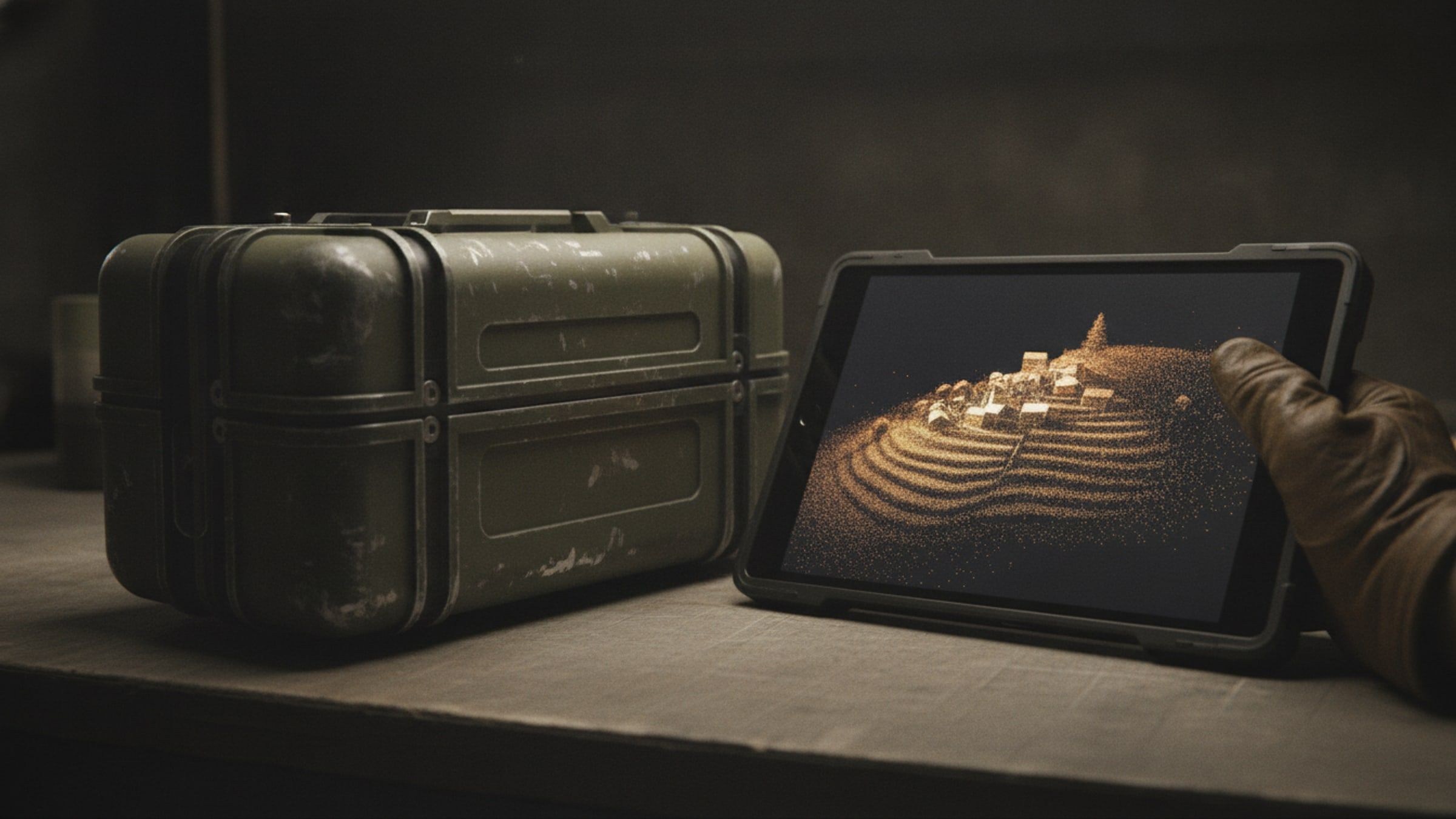
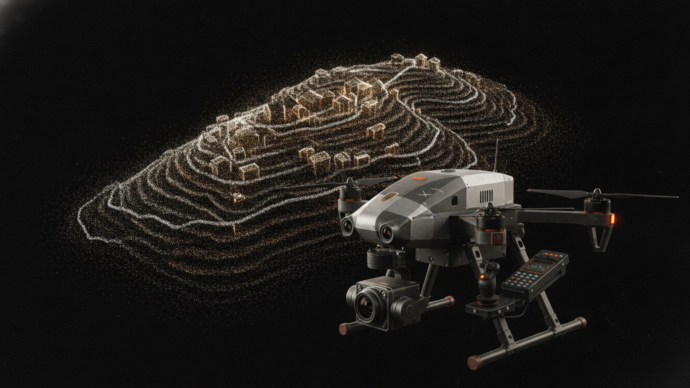
Imagery is only worth the flight if it becomes something measurable. This suite takes the frames off the aircraft and produces the ground: an orthomosaic to measure on, an elevation model to plan with, a point cloud to cut sections from, and a 3D scene to brief with.
It runs on a workstation under your control, so sensitive imagery never goes to a processing service. Outputs are in the standard formats that existing survey and planning software already reads.
System qualities
01 / 04
Your imagery stays yours
Processing runs on a workstation you own. Nothing is uploaded to a service, which is the only version of this that works for sensitive sites.
02 / 04
Four products, one run
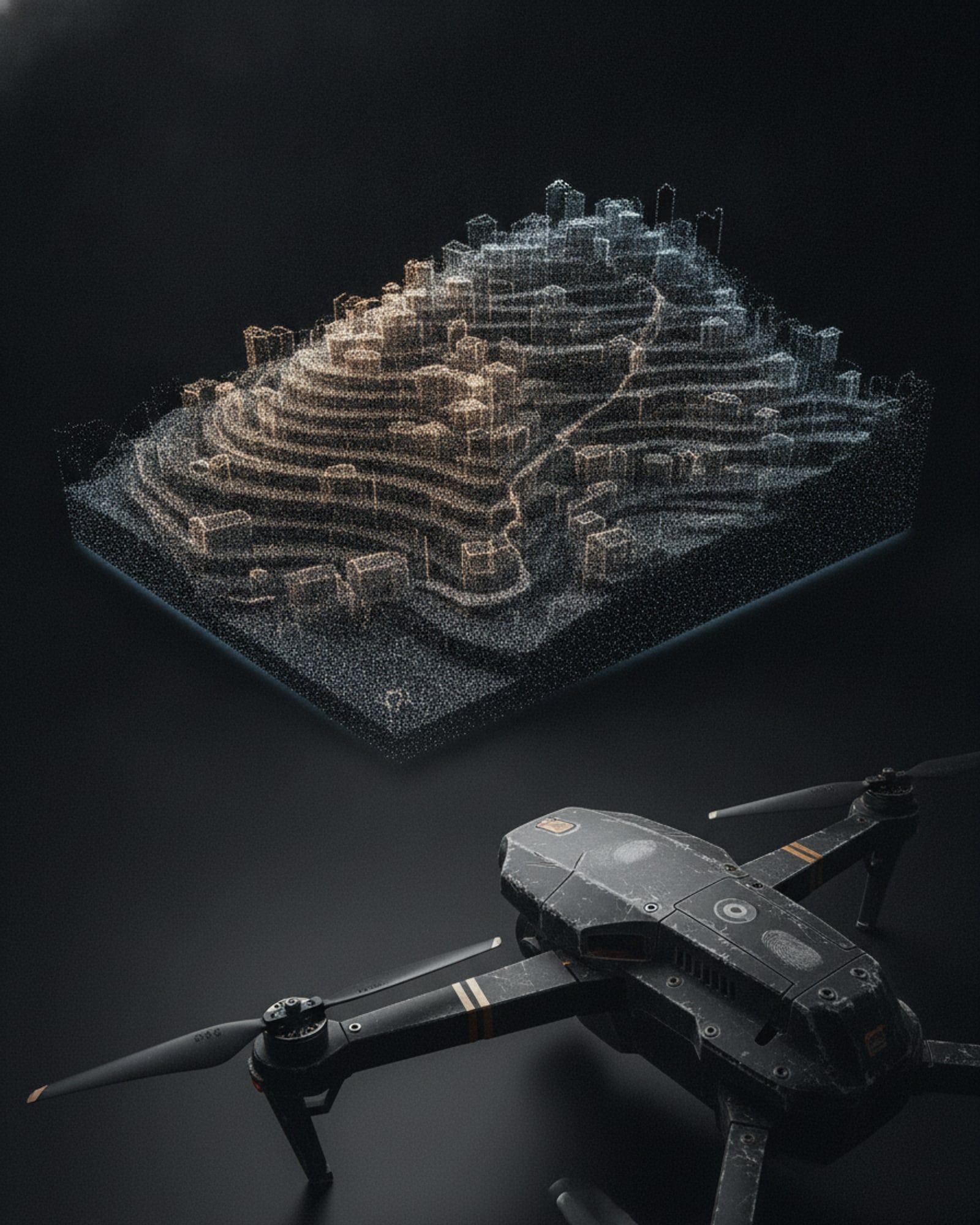
Orthomosaic, digital surface model, dense point cloud and a navigable 3D scene from the same set of frames.
03 / 04
Opens in what you already use
Standard raster, vector and point-cloud formats, so the output drops into existing survey and planning software.
04 / 04
Scales with the graphics processor
Reconstruction is accelerated on commodity graphics hardware, so a bigger site is a longer run rather than a different pipeline.
Specifications
Figures marked undisclosed or on request are released against a stated requirement.
Input
- Imagery
- Survey frames with position and orientation
Output
- Orthomosaic
- Georeferenced raster
- Elevation
- Digital surface and terrain models
- Point cloud
- Dense, classified on request
- 3D scene
- Navigable reconstruction
- Accuracy
- On request
- Quality report
- Per project, with accuracy, calibration and reconstruction figures
Processing
- Hardware
- Workstation with a graphics processor
- Connectivity
- Not required
- Images per project
- No fixed limit
Formats
- Interchange
- Standard geospatial raster, vector and point-cloud formats
Documentation
- Autonomy and AI overviewAvailable on request
Applications
Works with
These are built to operate together, on one network and one picture.
From imagery to terrain.