
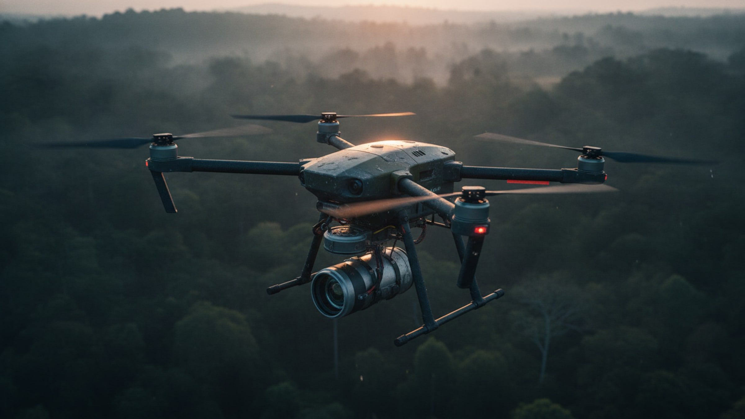
Aerial Systems[LIDAR-UAV]
Laser-scanning aircraft that measures bare ground under vegetation and returns a dense, classified point cloud.
- Point density
- On request
- Vertical accuracy
- On request
- Endurance
- On request
- Returns per pulse
- Multiple
Overview
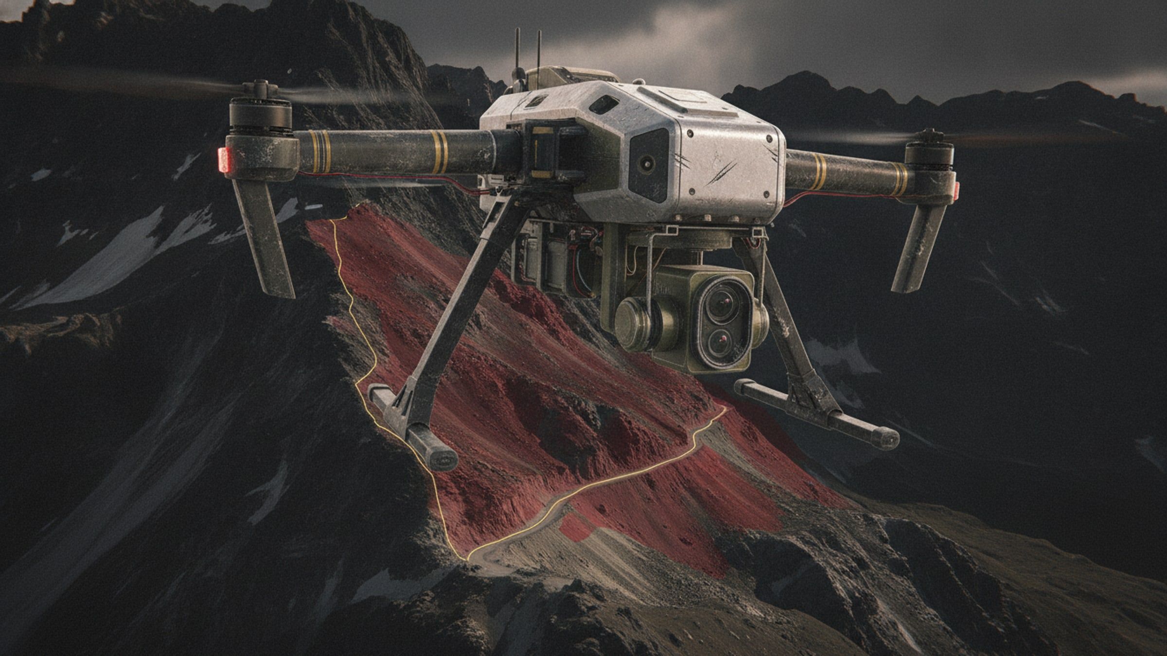
Photogrammetry stops at the top of the canopy. A laser scanner does not: enough pulses reach the floor through gaps in the leaves to reconstruct the ground itself. That is the difference between a picture of a forest and a terrain model you can cut a road on.
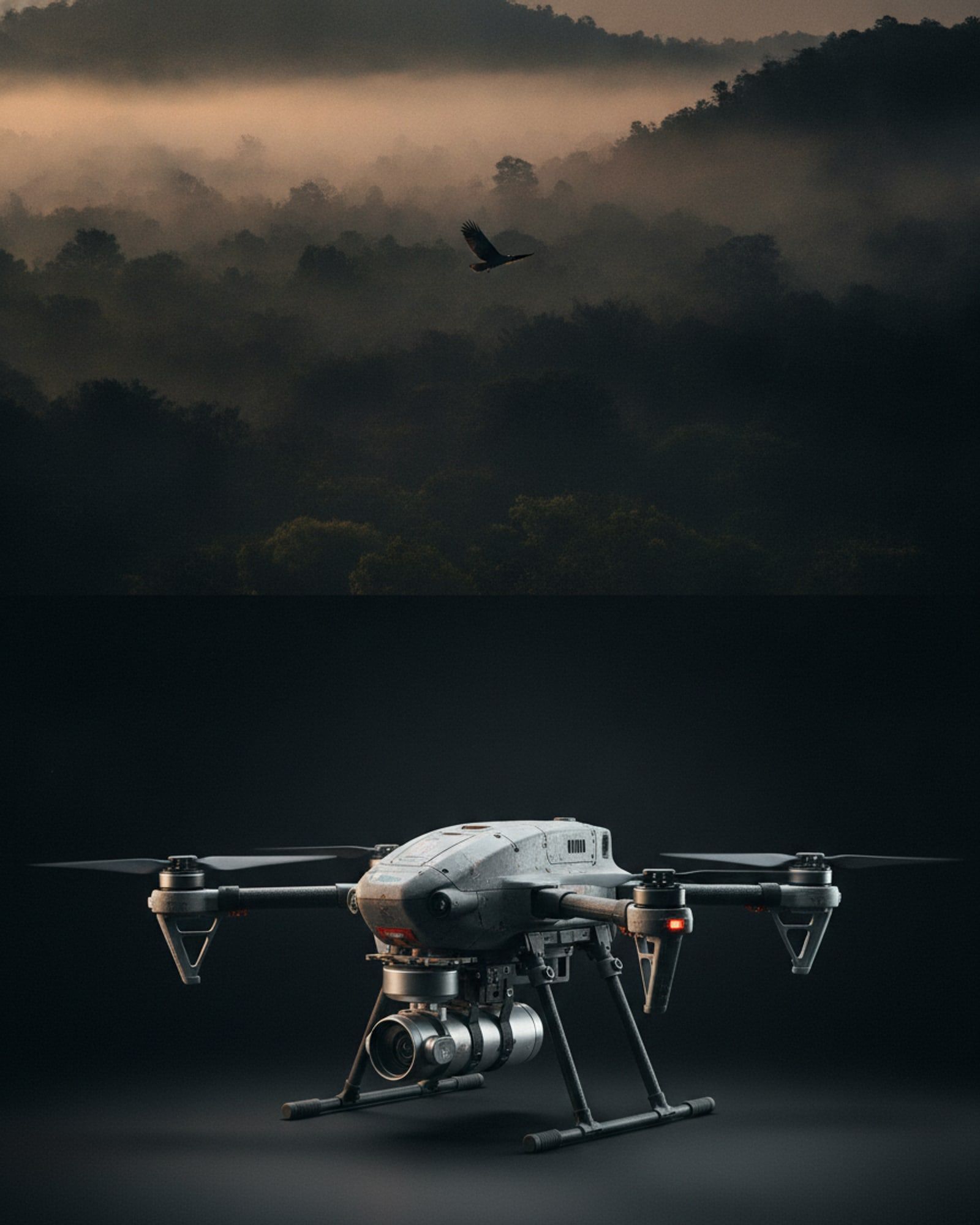
The aircraft carries the scanner, an inertial unit and a satellite receiver as one calibrated assembly, so every returned pulse is placed in a real coordinate frame. Output is a classified point cloud plus a bare-earth model, ready for corridor mapping, volumetrics and route planning.
System qualities
01 / 04
Ground under cover
Multiple returns per pulse separate canopy from floor, producing a bare-earth surface where imagery alone produces only a green roof.
02 / 04
One calibrated assembly
Scanner, inertial unit and satellite receiver are aligned as a unit and stay aligned, so accuracy does not drift between sorties.
03 / 04
Works after dark
The scanner makes its own light. Flights are not tied to the sun angle, which doubles the usable window on a short winter day.
04 / 04
Corridors and volumes
Linear assets, slopes and stockpiles are measured directly from the cloud, with the classification already applied.
Specifications
Figures marked undisclosed or on request are released against a stated requirement.
Airframe
- Configuration
- Multirotor
- Maximum take-off mass
- On request
Performance
- Endurance with scanner
- On request
- Survey altitude
- On request
Sensor
- Pulse rate
- On request
- Returns per pulse
- Multiple
- Range accuracy
- On request
- Scan swath
- On request
- Scan field of view
- On request
- Point density at survey altitude
- On request
Navigation
- Position and attitude
- Inertial unit coupled to satellite navigation
- Heading accuracy
- On request
- Georeferencing
- Direct, from the coupled inertial and satellite solution
Output
- Deliverables
- Classified point cloud, bare-earth model, contours
- Point cloud format
- Industry-standard interchange, classified on request
Calibration
- Boresight
- Factory aligned, verified on a calibration flight
Documentation
- Aerial Systems overviewAvailable on request
Applications
Works with
These are built to operate together, on one network and one picture.
See through the canopy.