
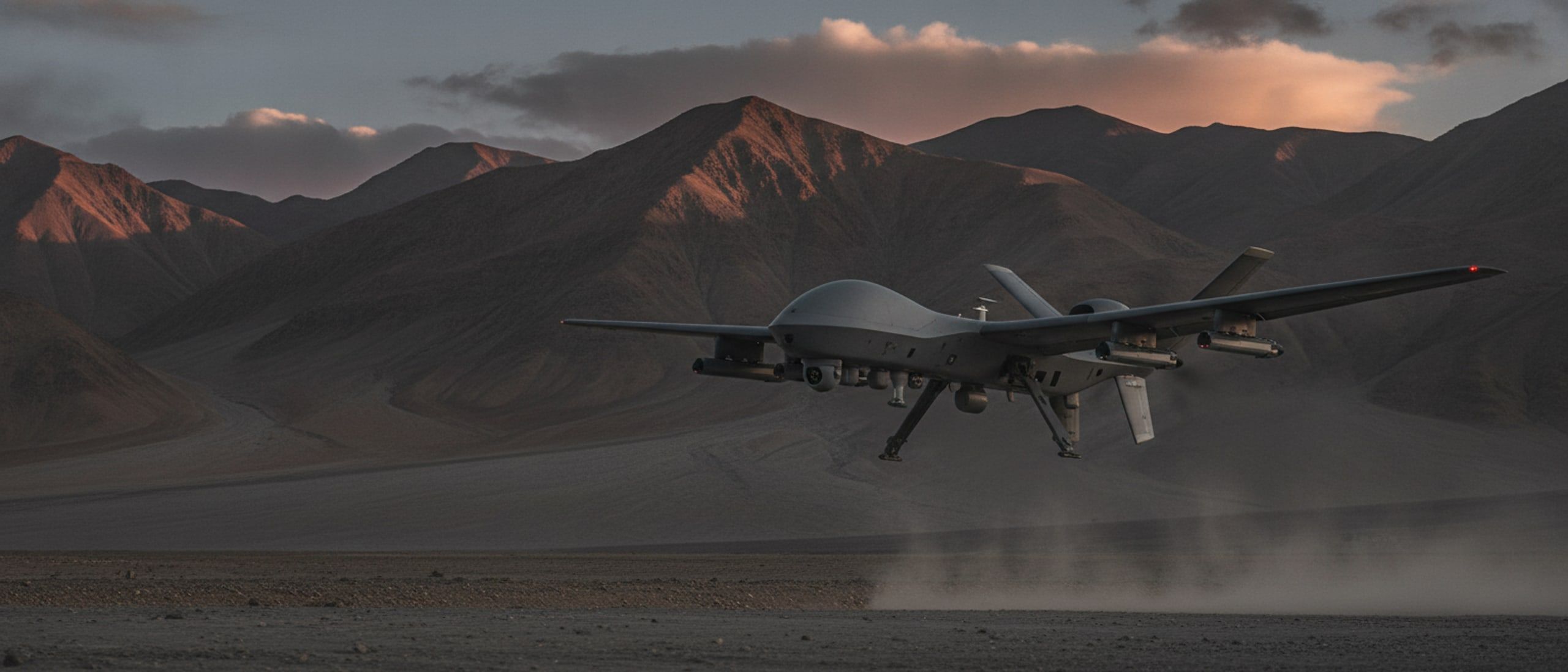
Systems
Aerial Systems
Eyes where the map ends.
What this covers
Multirotor and vertical take-off platforms for survey and mapping, reconnaissance in thin air, flight that continues when satellite navigation stops, and aircraft that operate as a formation rather than one at a time. Each airframe is built around the payload it carries and the place it has to work in.
- Survey and mapping
- High-altitude reconnaissance
- Navigation-denied flight
- Multi-aircraft operations
- Logistics and delivery
5 systems
In this domain

Map it once, precisely.
Survey and Mapping UAV
Multirotor survey aircraft producing survey-grade orthomosaics, contours and elevation models from a single flight.
[SURVEY-UAV]
See through the canopy.
LiDAR Mapping UAV
Laser-scanning aircraft that measures bare ground under vegetation and returns a dense, classified point cloud.
[LIDAR-UAV]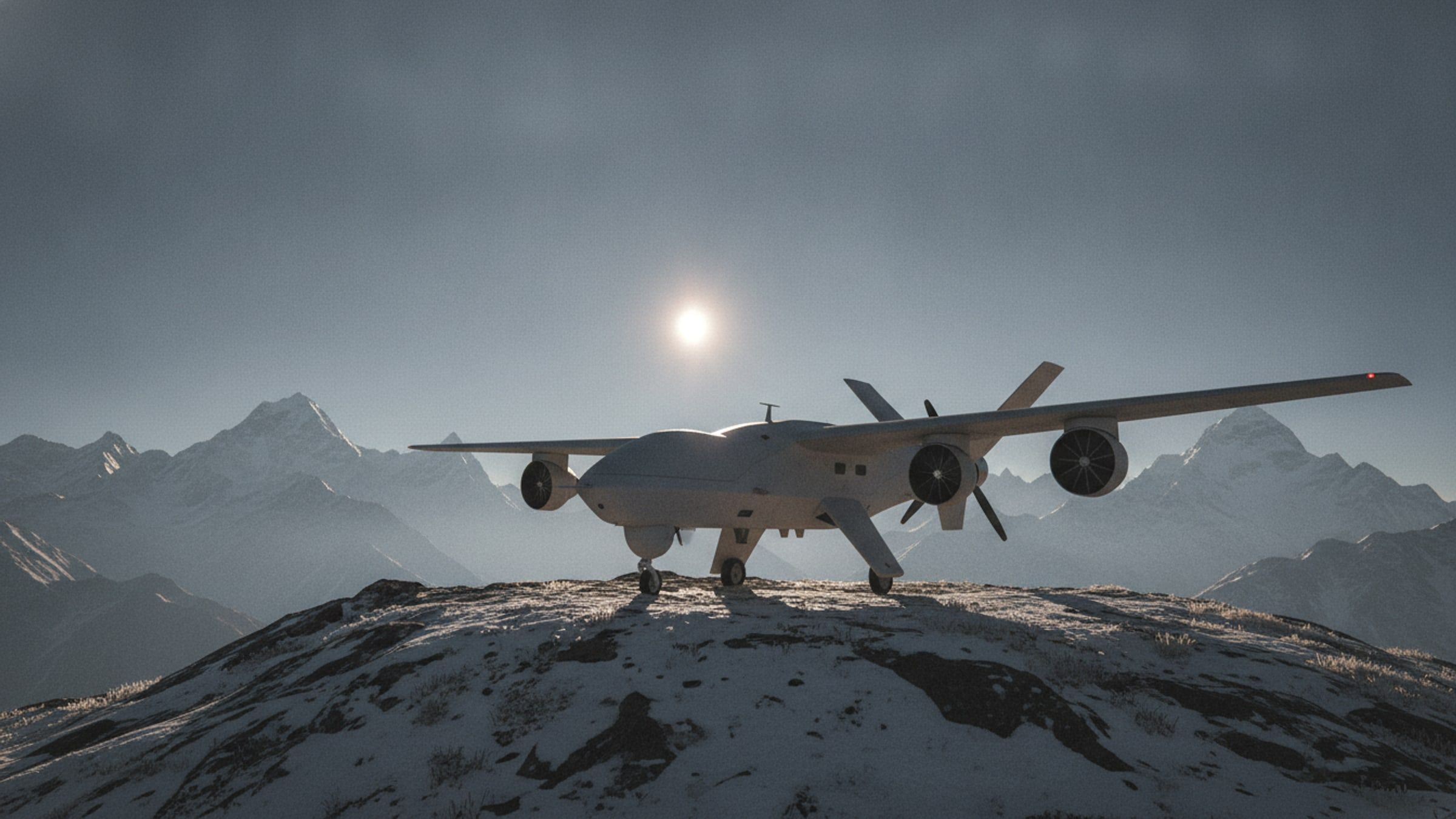
Watch from thin air.
High-Altitude ISR UAV
Vertical take-off reconnaissance aircraft built for thin air, extreme cold and launch sites with no runway.
[ISR-UAV]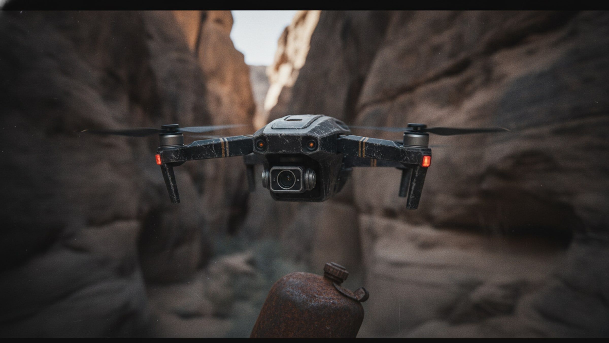
Fly without a fix.
Navigation-Denied UAV
Aircraft that keeps flying its mission when satellite navigation is jammed, spoofed or simply unavailable.
[NAV-DENIED]
Many aircraft, one intent.
Swarm UAV System
A fleet flown as a single formation from one station: arm, launch, reshape in flight, task and recover together.
[SWARM]Next step
Tell us what aerial has to do.
Give us the task, the terrain and the timeline, and we will come back with what we would field.