
Systems
Autonomy and AI
Judgement at the edge.
What this covers
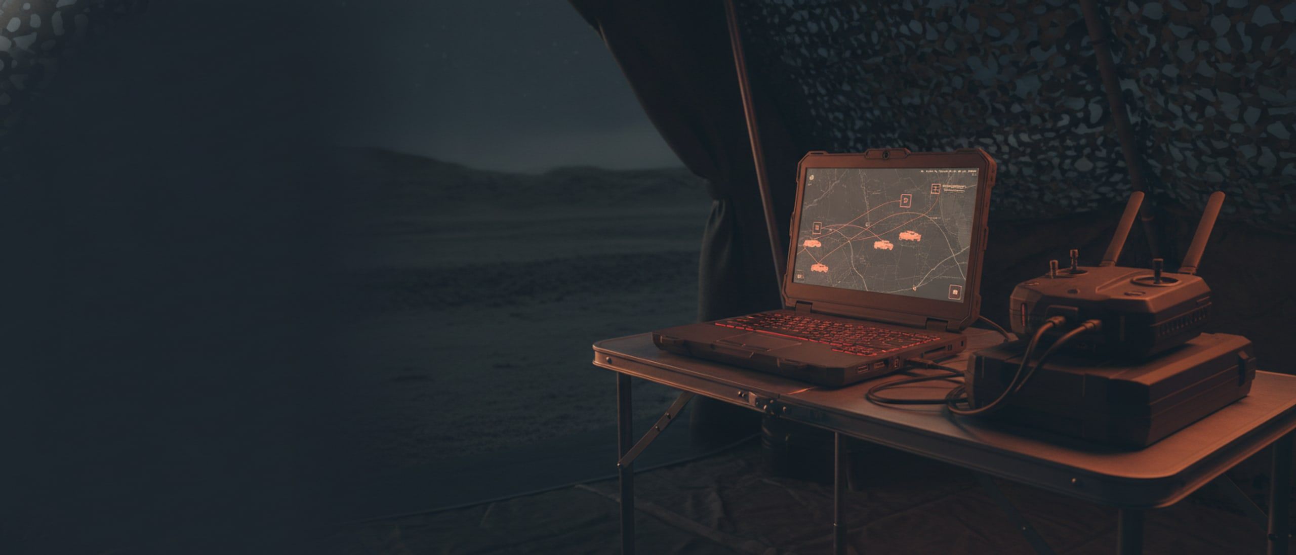
Intelligence that runs on the vehicle or on a box beside the operator, never in somebody else's cloud: detection and tracking in live video, terrain read for hazard, imagery turned into measurable ground, and archives that answer a question with the page the answer came from.
- Detection and tracking
- Geospatial intelligence
- Air-gapped analysis
4 systems
In this domain
Find, follow, flag.
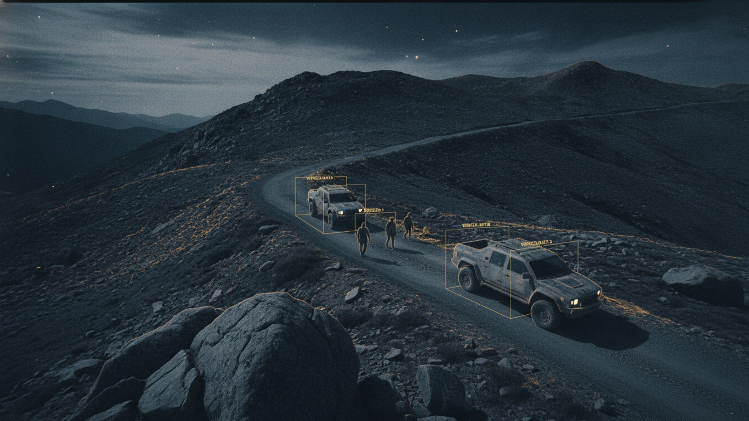
AI Object Detection and Tracking
Detection and tracking of people and vehicles in live video, running on the aircraft rather than in a data centre.
[AI-TRACK]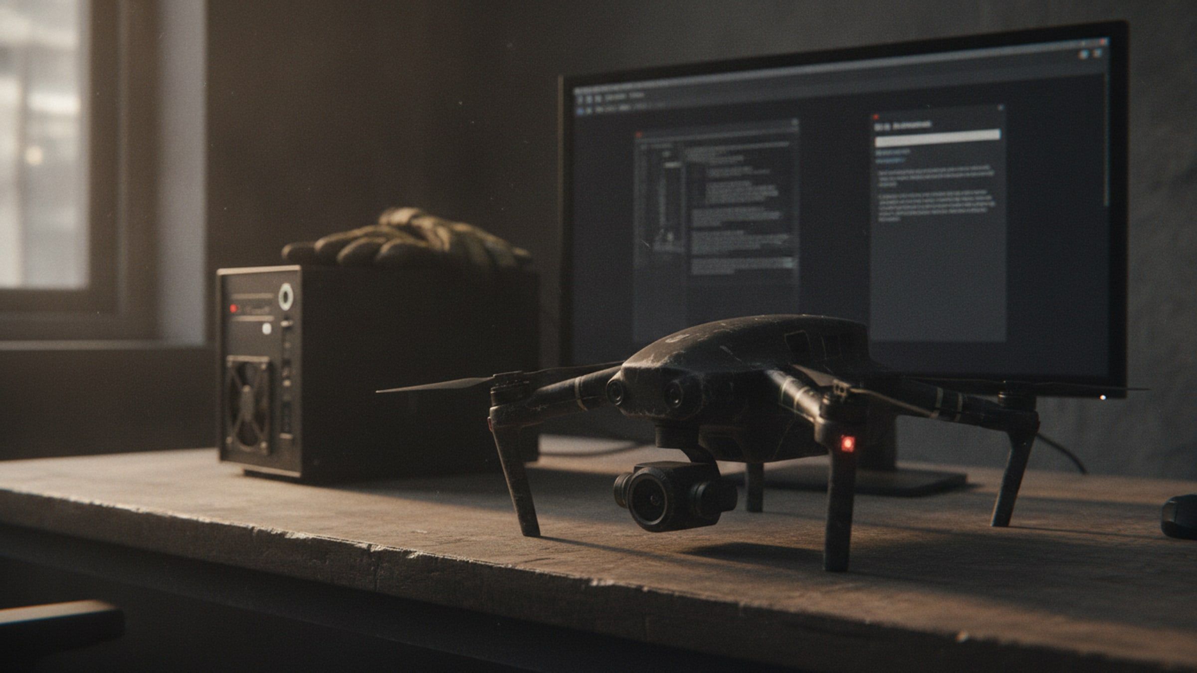
Your archive, answered.
Edge Document Intelligence Terminal
An air-gapped assistant that reads your own documents and answers questions with the page the answer came from.
[EDGE-AI]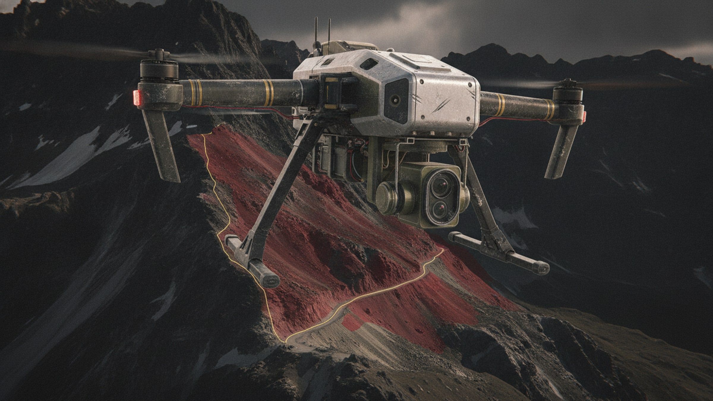
Know the slope first.
Terrain Hazard Detection
Imagery analysis that flags slopes at risk of failure, for route planning, siting and post-event assessment.
[GEO-AI]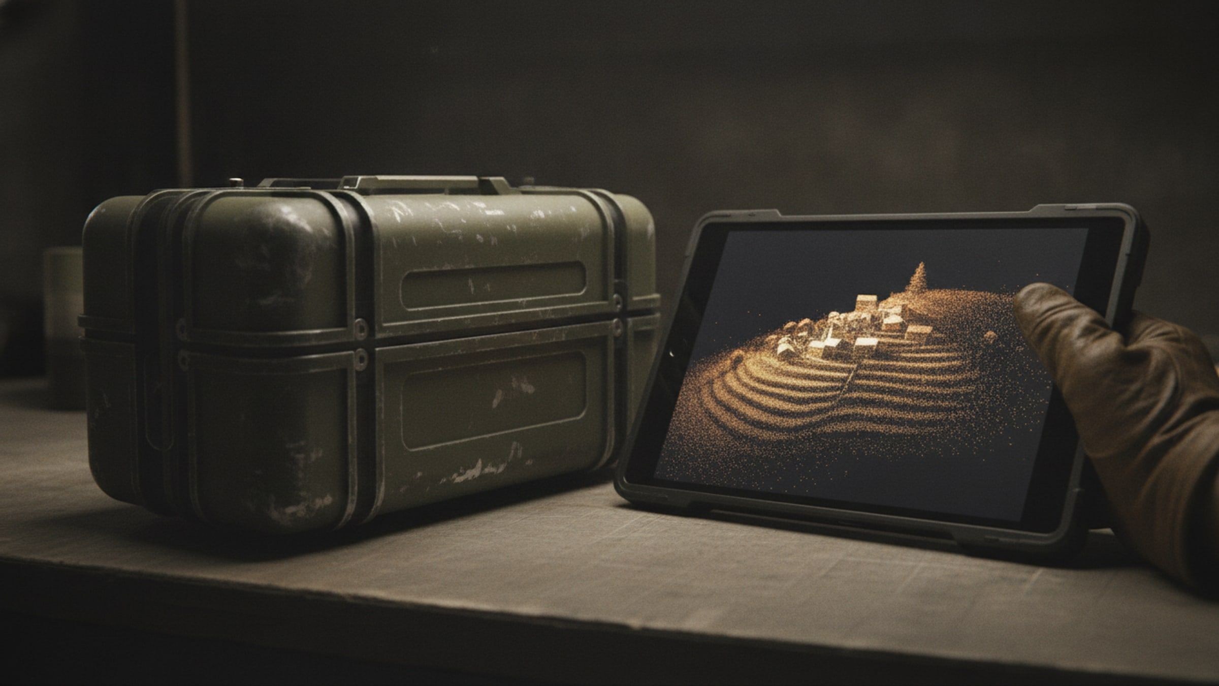
From imagery to terrain.
Photogrammetry and 3D Reconstruction Suite
Processing that turns survey imagery into orthomosaics, point clouds and navigable 3D scenes on your own hardware.
[RECON-3D]Next step
Tell us what autonomy and ai has to do.
Give us the task, the terrain and the timeline, and we will come back with what we would field.