
Application
Disaster response
Seeing what happened, finding who is cut off, and working where the infrastructure has gone.
The problem
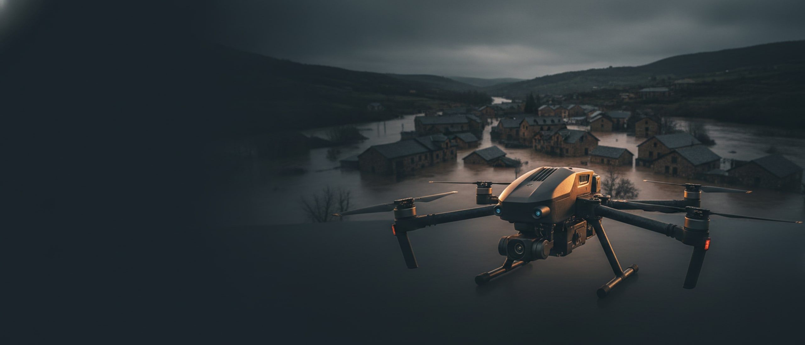
After a flood, a landslide or an earthquake, the first requirement is a picture. Roads are gone, the mobile network is down or saturated, and the decisions that matter most, where to send people and what can still be reached, are made in the first hours on whatever information exists.
How it runs
A typical deployment
- 01
Fly the area immediately
Survey aircraft produce a current orthomosaic of the affected ground within hours, not days.
- 02
Compare with before
The new imagery is processed against earlier surveys to show what has moved, what is submerged and which routes have failed.
- 03
Read the slopes
Terrain analysis flags where the next failure is likely, so response parties are not sent under an unstable face.
- 04
Communicate without a network
Mesh radio nodes give parties a shared map and messaging across a valley with no towers standing.
- 05
Reach what the roads cannot
Heavy-lift aircraft deliver stores to cut-off settlements while ground routes are still closed.
Systems used
What we would field
Map it once, precisely.
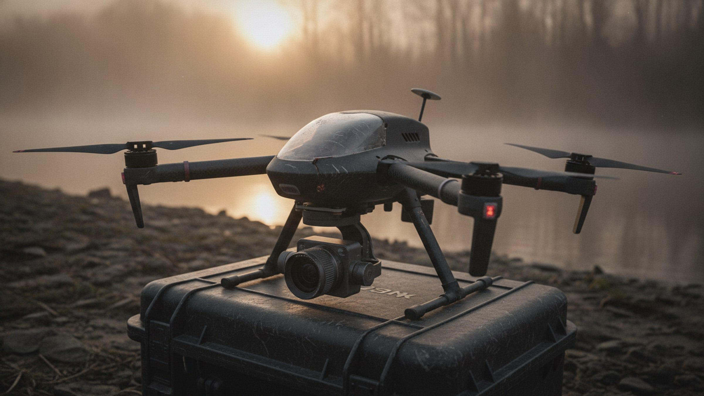
Survey and Mapping UAV
Multirotor survey aircraft producing survey-grade orthomosaics, contours and elevation models from a single flight.
[SURVEY-UAV]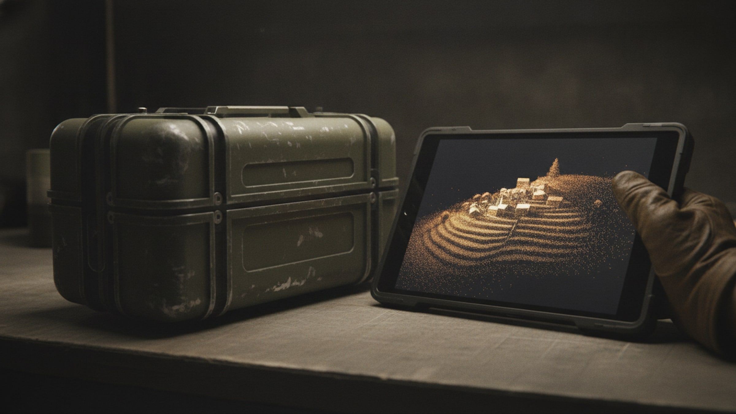
From imagery to terrain.
Photogrammetry and 3D Reconstruction Suite
Processing that turns survey imagery into orthomosaics, point clouds and navigable 3D scenes on your own hardware.
[RECON-3D]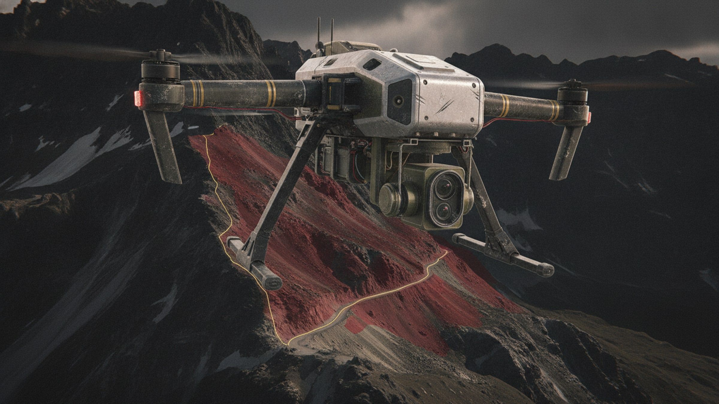
Know the slope first.
Terrain Hazard Detection
Imagery analysis that flags slopes at risk of failure, for route planning, siting and post-event assessment.
[GEO-AI]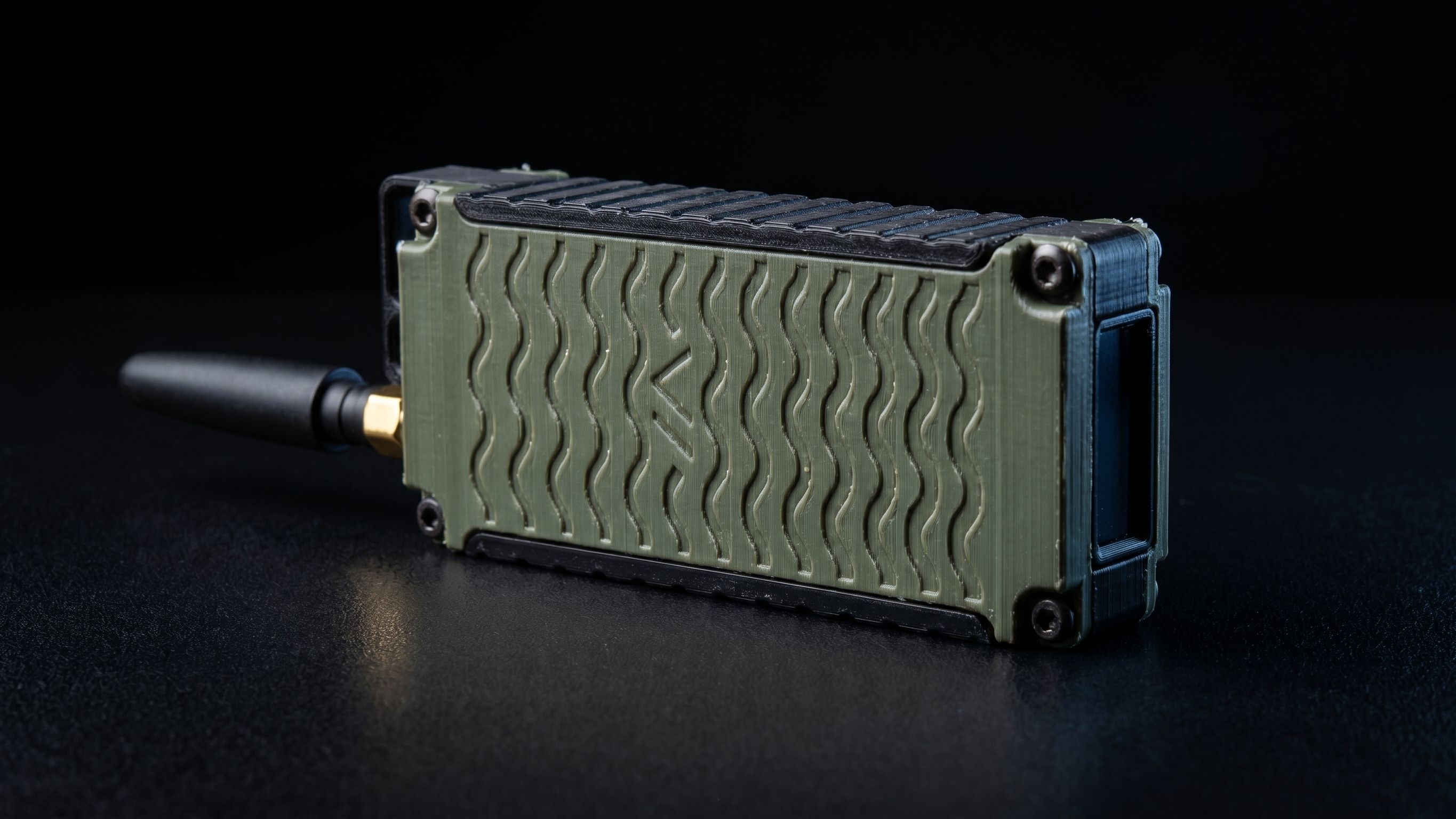
Coverage where there is none.
Rugged Mesh Radio Node
A pocket-sized long-range radio that forms a self-healing network with every other node in range, with no base station.
[MESH-NODE]Next step
Planning for disaster response?
Tell us the task, the terrain and the timeline. We will come back with what we would field and what it would take.