
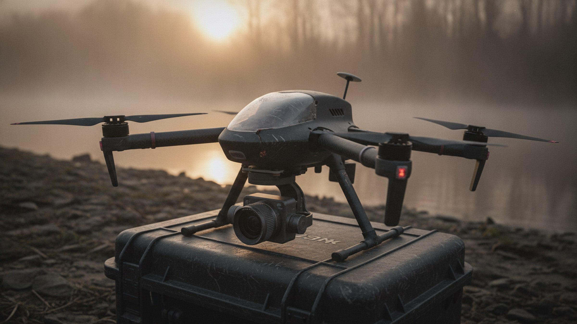
Aerial Systems[SURVEY-UAV]
Multirotor survey aircraft producing survey-grade orthomosaics, contours and elevation models from a single flight.
- Ground sample distance
- On request
- Endurance
- On request
- Coverage per flight
- On request
- Positioning
- Satellite-corrected
Overview
A survey aircraft is judged on the quality of the ground model it produces, not on how it flies. This platform is built around a calibrated mapping camera, a stabilised mount and a timing chain accurate enough that every frame carries a trustworthy position, so the imagery resolves to a measurable surface rather than a picture.
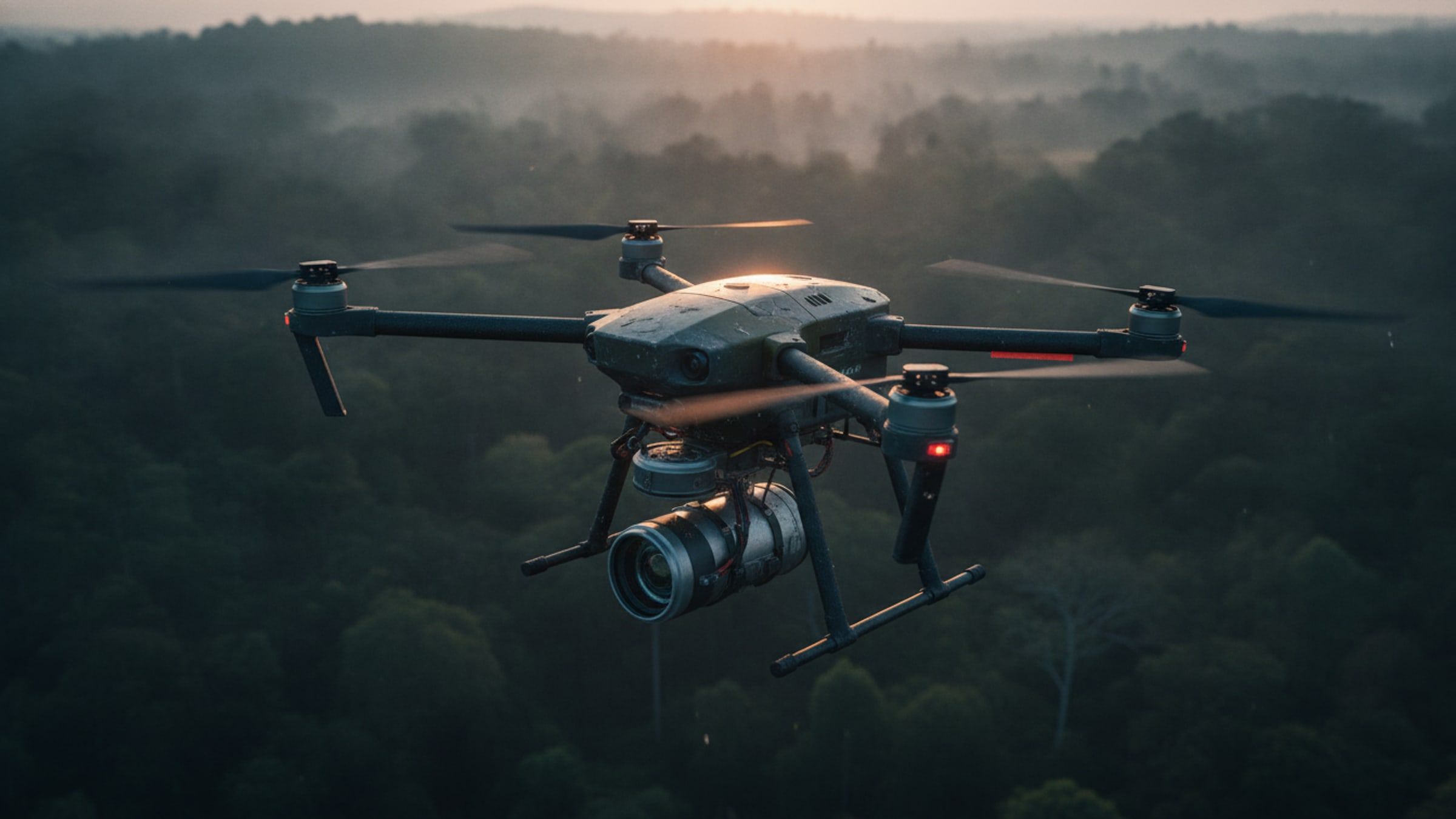
It assembles without tools, flies a planned grid on its own and returns to the launch point on a failed link or a low battery. The output is an orthomosaic, a digital elevation model and contours, delivered in the formats a survey office already uses.
System qualities
01 / 04
Survey-grade geometry
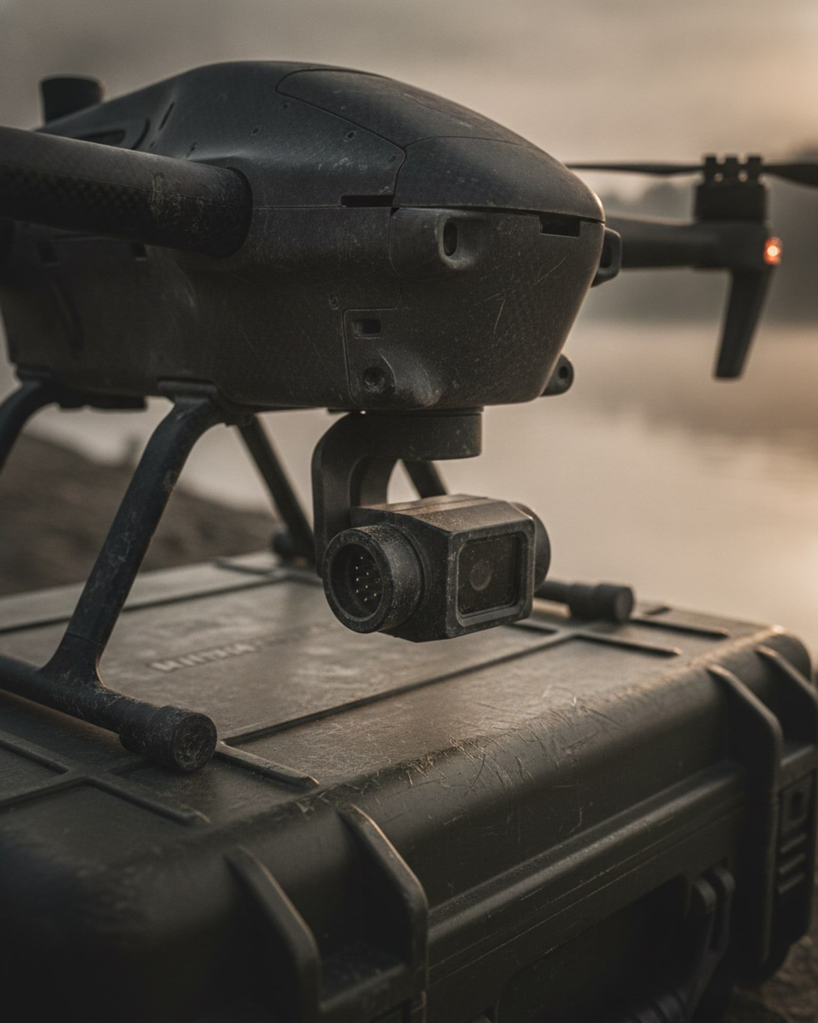
A calibrated lens, a rigid mount and precise exposure timing keep the photogrammetric solution tight. Corrections are applied in flight or after it, so control points become a check rather than a dependency.
02 / 04
One flight, several products
The same sortie yields an orthomosaic, a digital surface model, contours and a point cloud. Nothing has to be re-flown because the deliverable changed.
03 / 04
Planned on site
Draw the boundary, set the resolution and the aircraft computes the grid, the overlap and the battery changes it needs. The plan is repeatable, so the same site can be flown identically months apart.
04 / 04
Assembles without tools
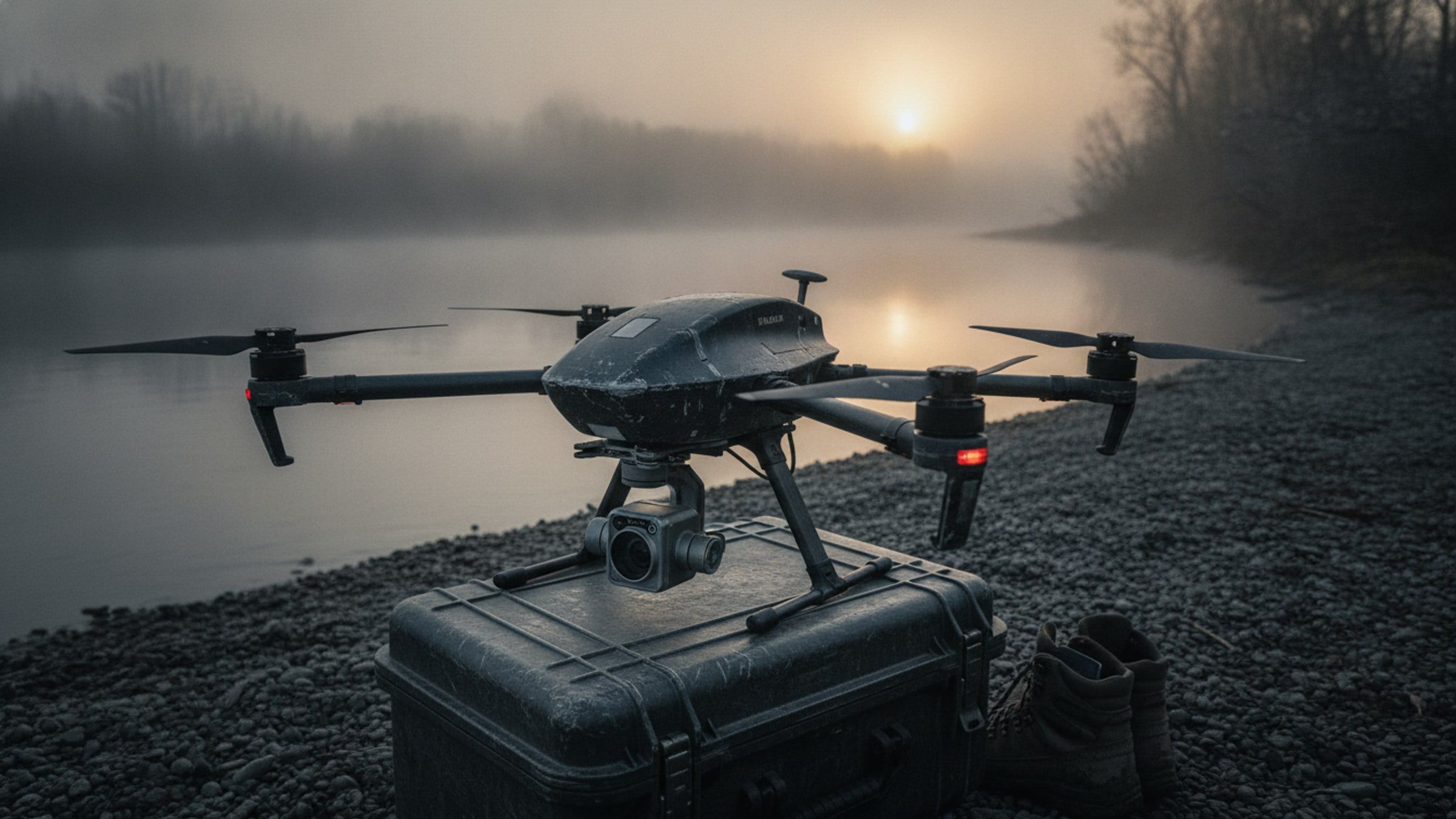
Arms fold, the payload clips in, and the aircraft goes from case to airborne in minutes. Field failures are fixed by swapping a module, not by returning the aircraft.

Specifications
Figures marked undisclosed or on request are released against a stated requirement.
Airframe
- Configuration
- Multirotor
- Maximum take-off mass
- On request
- Assembly
- Tool-less, folding arms
Performance
- Endurance
- On request
- Operating radius
- On request
- Wind tolerance
- On request
- Operating temperature
- On request
- Charge time
- On request
Payload
- Mapping camera
- On request
- Ground sample distance at 120 m
- On request
- Positioning
- Satellite navigation with kinematic correction
- Positioning accuracy, with ground control
- On request
- Positioning accuracy, without ground control
- On request
- Shutter
- Mechanical, for distortion-free capture in motion
Output
- Deliverables
- Orthomosaic, digital elevation model, contours, point cloud
Compliance
- Civil airworthiness category
- On request
Planning
- Image overlap
- Front and side, set per mission
- Constellations
- GPS, GLONASS, Galileo, BeiDou and NavIC
Documentation
- Aerial Systems overviewAvailable on request
Applications
Works with
These are built to operate together, on one network and one picture.
Map it once, precisely.